
The Lyrebird Project
The Lyrebird project takes its name and inspiration from what Paul Carter (in The Road to Botany Bay) describes as ‘one of the most remarkable compilations of settler records’ (1987: 151):The Land of the Lyrebird. This text is remarkable for a number of reasons, not least of which is that it brings to life in vivid detail a place which no longer exists. More than that, it outlines in vivid and remarkable detail the process by which the destruction – or rather transformation – of (this) place is enacted.
This project is an ongoing collaboration which we’ve designed to produce a variety of outcomes: artistic, academic; written, performed, recorded. The unifying spine of the project is the Lyrebird text and the geography to which it adheres.
Our two pieces for radio

Ladyswamp: a performance poem for radio

Under the Forest: a radio play
Geography
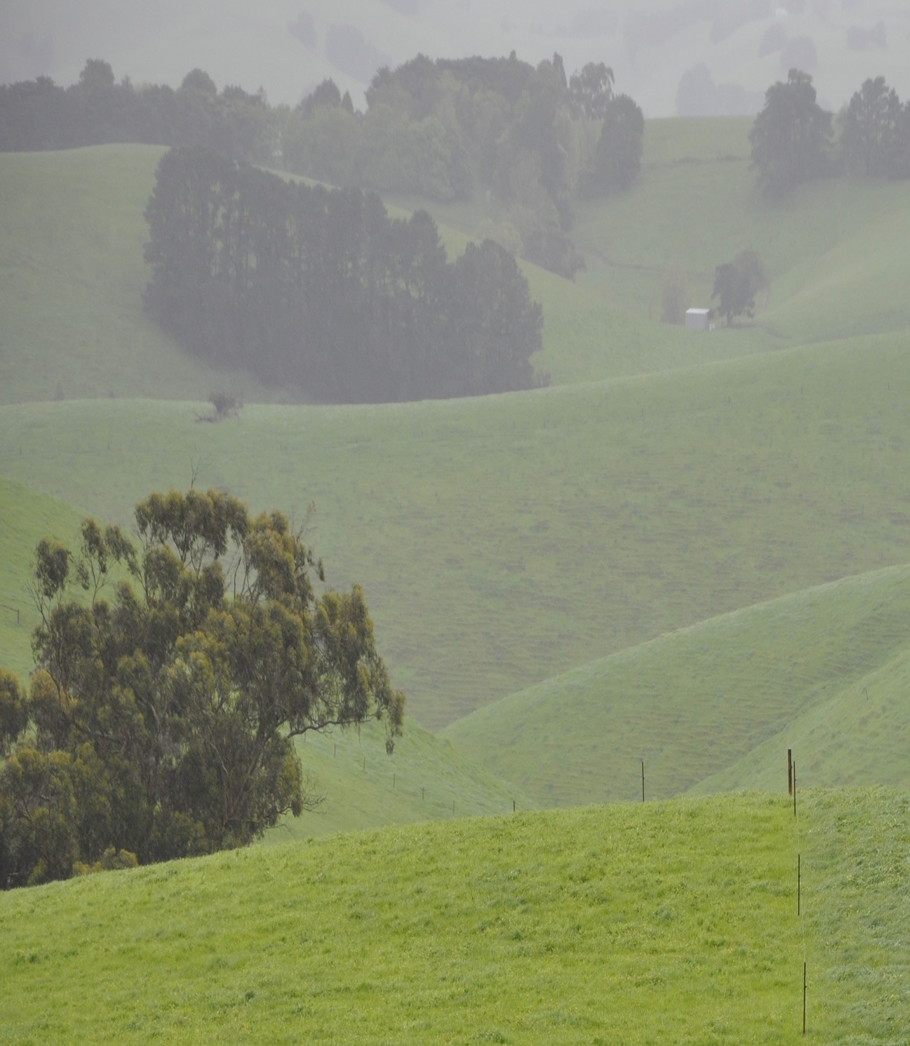
 The area covered in The Land of the Lyrebird is roughly that of the map below. The area is usually designated as South Gippsland, though it includes some of West Gippsland as well. The geography of the area is a significant factor in its colonial history. Essentially, the area further east – the rich pasture lands and river country of East Gippsland was occupied by New South Wales squatters in around the 1840s. South Gippsland became important strategically for the new colony of Victoria primarily because it formed a boundary between Melbourne and the East. A lot of time and money was invested in finding a viable route through this country.
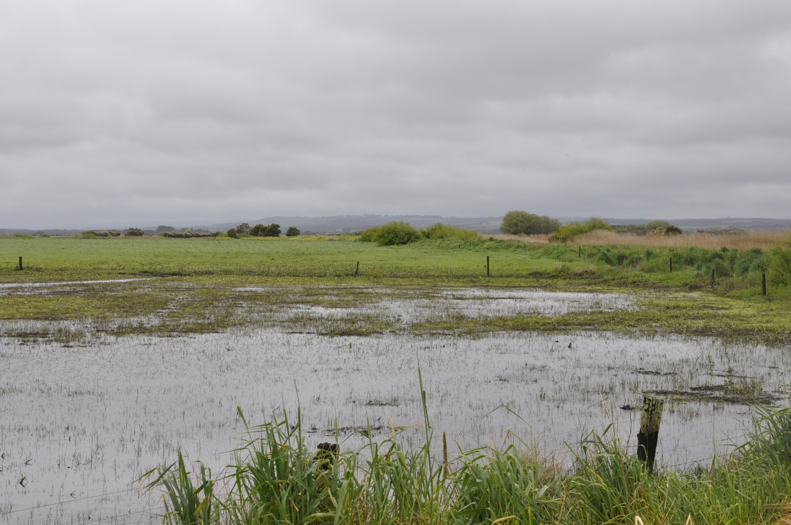
The inland country of South Gippsland, the aptly named ‘Great Forest’ was not occupied by Europeans until the 1860s-1880s. The country was steep and so heavily forested as to be almost impenetrable. The Indigenous presence in this land is barely covered in The Land of the Lyrebird. This is something we will discuss in later posts.